| Pagbilao Mangrove Forest Town/City: Pagbilao Province: Quezon 13.975417° N 121.725383° E | Listed in Gallery: Conservation Site Like this destination? |
| waypoint data map and vicinity info route(s) to this waypoint view other POIs of Quezon Province View Pagbilao town/city feature | |
Click on any of the images to see the enlarged copy and narratives of the photo.


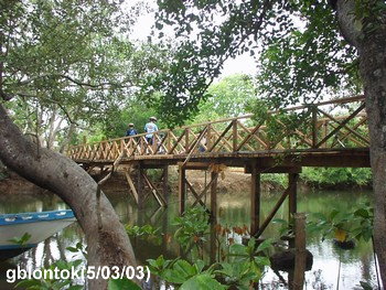
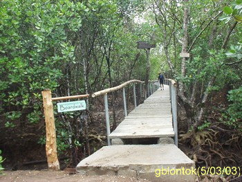
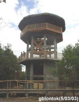
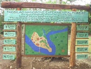
This mangrove forest is a living proof of a successful rehabilitation effort. Even before World War II, the area was a favorite to poachers who gather the "bakawan" which is a very good material for charcoal.
In 1975, the 145 hectare area was declared as Pagbilao Mangrove Experimental Forest by virtue of Bureau of Forest Development (BFD) Administrative Order No. 7 (s. 1975). This declaration provided the necessary protection (and funding) and further poaching was prevented. Now, the diverse ecosystem makes the area a favorite field trip destination mostly of botany and zoology students from prestigious universities.
...
[Read more] from the blog of GBLontok [view blogger profile] [visit blogger website]
