| Bahura Ligpo Town/City: Bauan Province: Batangas 13.819917° N 120.898483° E | Listed in Gallery: Dive & Snorkeling Site Like this destination? |
| waypoint data map and vicinity info route(s) to this waypoint view other POIs of Batangas Province View Bauan town/city feature | |
Click on any of the images to see the enlarged copy and narratives of the photo.


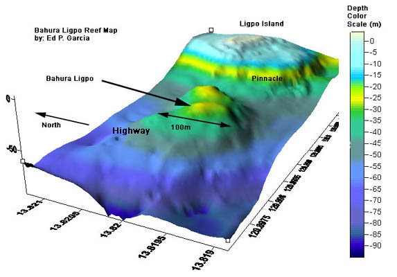
This is a deep dive site. This bahura (underwater rock formation) is about 200 meters west of the Ligpo islet and some 75ft (25 meters) deep on its shallowest portion.
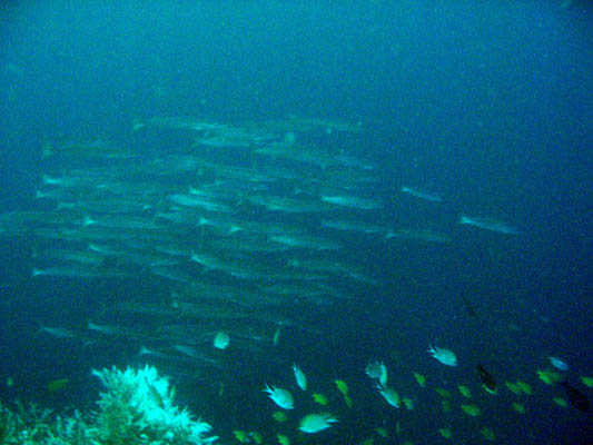
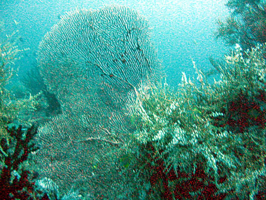
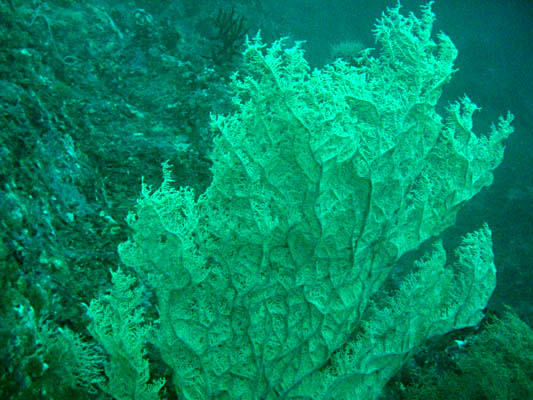
The northwest edge of the atoll (at about 90ft) serves as a "view deck" to what is referred to by most divers as the "Highway" as this is where you will often see pelagics passing by in the blue water (like those shown in the photo above). Barracudas, large Tunas are a common and almost guaranteed sighting here and there are reports of Hammerheads and Nurse Shark sightings as well. Fan Corals are plentiful and water is generally calm and visibility quite good at the deeper parts. However, when the tide changes, currents can be really fierce.
Divers usually go to this dive site from resorts at Mabini (it is about 7km boat ride from the Anilao pier). Though the better way to plan a dive at this site is by booking through the dive resorts near Ligpo. Besides being just a stone's throw away from the dive site, the boatmen from these resorts have very good knowledge on where to drop anchor right on top of the shoal.
Waypoint narrative by: EPPGarcia 2007 follow EPPGarcia on Facebook
Selected YouTube video: Bahura Ligpo Deep Dive
By: Kevin Asturias
