| Gulugod Baboy Town/City: Mabini Province: Batangas 13.723133° N 120.898067° E | Listed in Gallery: Mountain Peak Hiking Trail Like this destination? |
| waypoint data map and vicinity info route(s) to this waypoint view other POIs of Batangas Province View Mabini town/city feature | |
Click on any of the images to see the enlarged copy and narratives of the photo.
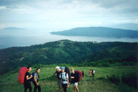
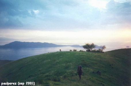
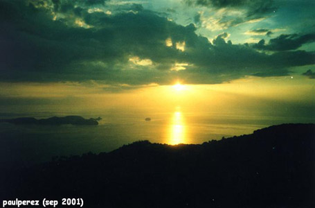
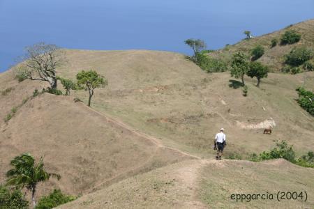
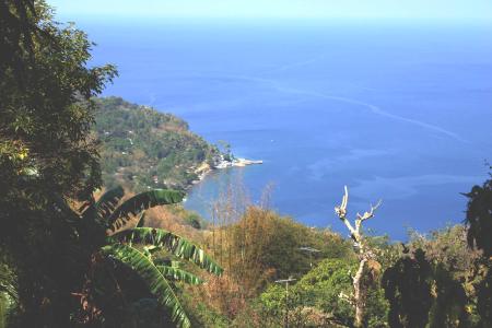
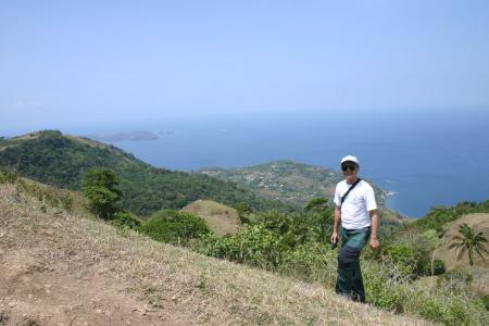
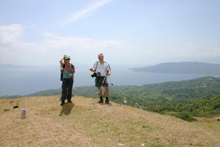
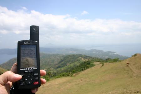
In english, Gulugod Baboy directly translates to "Pig Spine". So called perhaps because
of its contour? It has a spectacular 360 degree view of Anilao, Batangas Pier,
Maricaban Island, Mt. Maculot, even Mindoro, Mt. Lobo and Mt. Manabo.
Waypoint narrative by: EPPGarcia 2002 follow EPPGarcia on Facebook
Additional narratives or blogs:
How to get there
There are many jumpoff points to Gulugod Baboy. We chose to climb it from Bagalangit. It so turns out that it was possibly the shortest route albeit the steepest one. Took almost 2 hours going up and only 50 minutes going back.
By: EPPGarcia 2004
