| Bataan Death March km zero Town/City: Bagac Province: Bataan 14.599533° N 120.394867° E | Listed in Gallery: Historical Site Shrine & Monument Like this destination? |
| waypoint data map and vicinity info route(s) to this waypoint view other POIs of Bataan Province View Bagac town/city feature | |
Click on any of the images to see the enlarged copy and narratives of the photo.


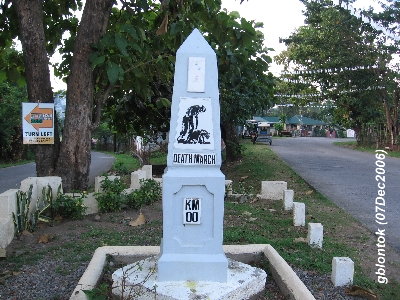
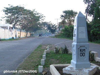
Death March Kilometer zero at Bagac
---
It was a coincidence that I took these photos on 07 December 2006. Sixty-five years ago, on this day in 1941, World War II began when the Japanese attacked pearl harbor in Hawaii. (it was actually 08 December in the Philippines)
A similar marker can be found in Mariveles as the Death March started from these two locations.
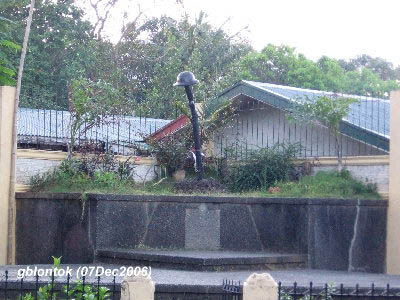
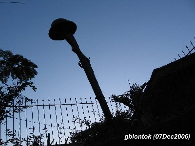
The marker is located near a road fork, where the left fork leads to Montemar Beach while the right leads to Bagac town proper. A few meters down the road, there is a park featuring a monument of a rifle topped with the soldier's helmet. These monuments are just a walking distance south of the the Junction along the Pilar-Morong Road. This Junction is marked with the Philippine-Japan Friendship Tower.
The Allied troops surrendered to the Japanese on April 9, 1942 ? the day known as The Fall of Bataan? or ?Bataan Day? which was later called ?Araw ng Kagitingan? or ?Day of Valor?. Beginning April 10, the Prisoners of War (PoW) were marched from Mariveles and Bagac up to San Fernando, Pampanga. The march lasted for days with those who are unable to go on executed. The distance marched by the prisoners depended on which area where they surrendered to the Japanese. From San Fernando, the POWs were packed into railroad box cars and ferried to Capas, Tarlac. From there, they hiked the remaining seven miles to Camp O?donnel.
Find more info in the following sites:
>http://history.sandiego.edu/gen/st/~ehimchak/death_march.html
http://www.wiesenthal.com/site/pp.asp?c=fwLYKnN8LzH&b=1354389
Waypoint narrative by: GBLontok 2006 follow GBLontok on Facebook
