| Bacolor Church Province: Pampanga 15.000683° N 120.648617° E | Listed in Gallery: Old Church Like this destination? |
| waypoint data map and vicinity info route(s) to this waypoint view other POIs of Pampanga Province | |
Click on any of the images to see the enlarged copy and narratives of the photo.
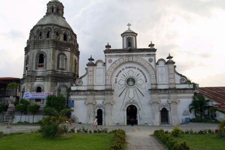
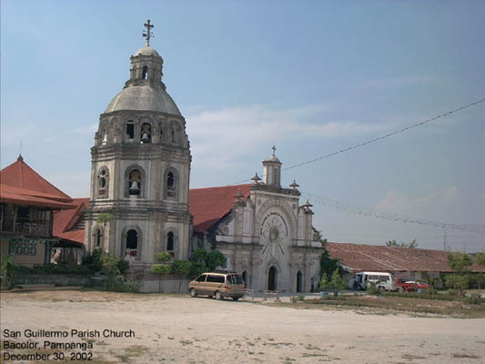
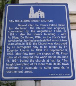
As written on the landmark plaque:
SAN GUILLERMO PARISH CHURCH
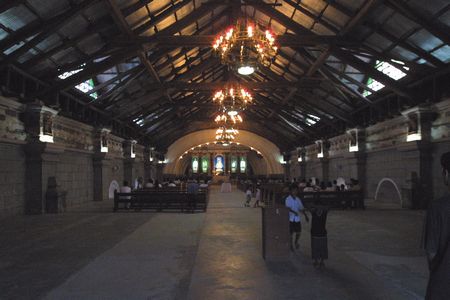
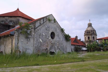
Named after the town's Patron Saint, San Guillermo. The church was originally constructed by the Agustinian Friars in 1576 - also the town's founding - with Fr. Diego De Ochoa, OSA, as the town's first parish priest.having been installed as such two years after. In 1880, the church was destroyed by an earthquake only to be rebuilt by Fr. Eugenio Alvarez in 1886. On September 3, 1995, lahar flow from the slopes of Mt. Pinatubo which erupted into world notice on June 15, 1991, buried the church at half its 12-m height prompting its more than 50,000 town residents to evacuate to safer grounds in resettlement areas.
Waypoint narrative by: EPPGarcia 2002 follow EPPGarcia on Facebook
